Qingtiangang
擎天崗· Nature
About
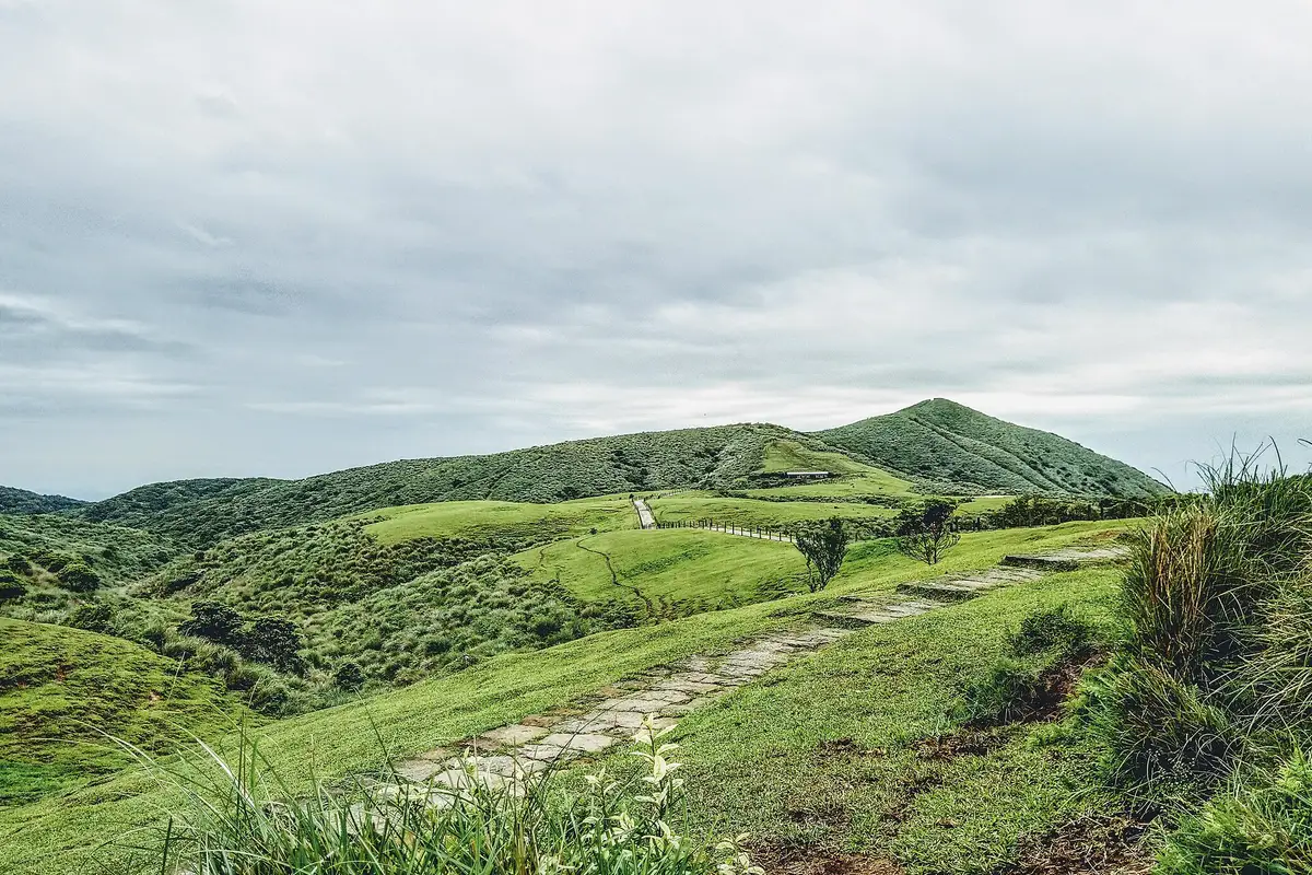
Open grassy slopes roll along the ridges, crossed by boardwalk trails. Qingtiangang is one of the most characteristic grassland landscapes of Yangmingshan National Park.
Read more
It lies among the peaks of the Datun volcano group, on broad and gentle terrain, and on clear days you can see the surrounding mountains and the Greater Taipei area. The landform is a terrace formed by lava from Zhugaoshan. It was once closely tied to cattle grazing and the boarding of working oxen, which is why grassland and water buffalo are the features most associated with the area. In spring and summer the slopes are green, and butterflies, birds and grassland plants can be seen along the trails. In autumn silver grass sways and Taiwan leopard plant flowers along the paths. In winter the cloud, mist and mountain wind change noticeably. Visitors can set out from the Qingtiangang Visitor Centre and follow the grassland trail past rolling slopes, wooden-railed paths and ridgelines. The entrance feature, bends in the trail and high viewpoints are good places to photograph the grassland. If you meet water buffalo, keep a safe distance and do not feed or touch them.
Translated and shortened by DealTaipei from Taiwan's national tourism database. Sources are on the terms page.
Facts and sources
- Names
- EN Qingtiangang中文 擎天崗한국어 칭톈강 Wikidata Q11078643, Chinese from the listing, Korean by DealTaipei (NIKL transcription)
- District
- Shilin District · 士林區 Tourism Administration listing, updated 2026-06-16
- Opening hours
- Not in the listing Tourism Administration listing, read 2026-09-30
- Phone
- (02)28615404 Tourism Administration listing. May be Chinese only
- Data
- /api/sight/qingtiangang.json The same facts as JSON, for apps and AI agents
Getting there


Wikidata (CC0). Sources and photo credits are on the terms page.