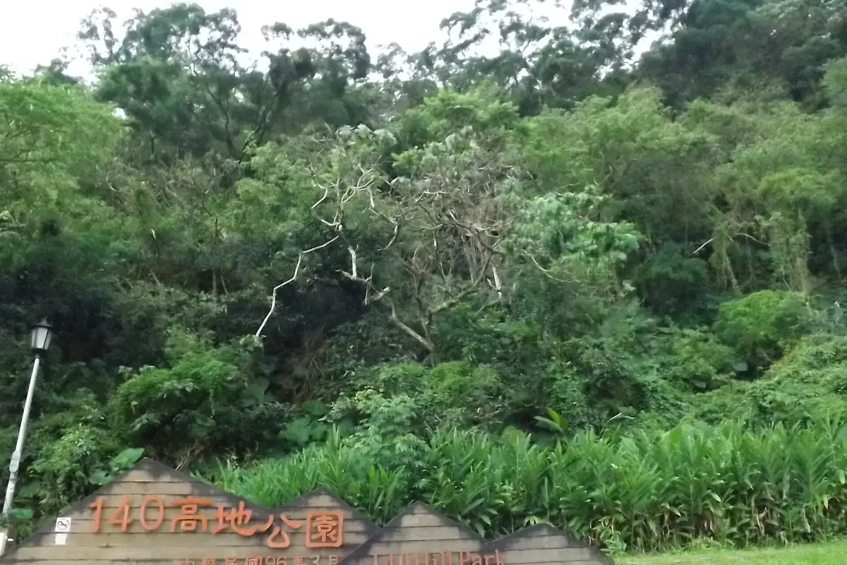
140 Gaodi Park
140高地公園· Park and garden
About
The park covers 5.6 hectares in Wanmei Village, Wenshan District, on hilly ground north of Wanning Street, between Wanning Street and Section 2 of Wanmei Street. Its highest point is Baozijiao Hill, 138 metres above sea level. Before the Wanfang community was built, the land was known as Baozaijiao, a large area of hills with only 45 households. The hilltop has open views. In 2004 Wenshan (Muzha) Park No. 80 (about 2.2 hectares) was built, followed in 2007 by Wenshan (Muzha) Park No. 30 (about 3.4 hectares), and together they are called 140 Gaodi Park. Winding wooden steps lead up to the ridge, where the path turns into gravel steps and follows the ridgeline through varied woodland, with viewing platforms and pavilions along the way. From here there are views down over the area below, towards Taipei 101 and the city lights, and across the hills and rivers of Wenshan District. To create a sustainable environment, the original landform was kept as far as possible when the park was built, to avoid damaging plant and animal habitats. Only essential facilities were added, with paths linking to nearby green spaces, giving residents a natural place for exercise and rest. Local residents built a concrete pond at their own expense in Lane 23, Wanning Street, using the existing power supply to run a simple filter tank; the pond is about 100 centimetres deep. For visitor safety and the look of the park, the original pond walls were removed and replaced with a ring of piled stones, work completed in March 2007. The park also has the only 'mountain identification map' in Taipei City, giving the names and heights of the mountains. There is also simple fitness equipment, including exercise machines and stretching benches.
Translated and shortened by DealTaipei from Taiwan's national tourism database. Sources are on the terms page.
Getting there

Good to know



Wikidata (CC0). Sources and photo credits are on the terms page.