Shezi Island Loop and Erchong Floodway Cycle Paths
社子島環島與二重疏洪道自行車道· Cycle path
About
Shezi Island lies where the Keelung River meets the Tamsui River and is a sandbar. Rice fields and green vegetable plots are everywhere, the look of an old, simple farming village.
Read more
A cycle path has been built along the top of the embankment. At the tail of the Shezi Island sandbar you can see the surging waters where the Keelung and Tamsui rivers meet. At sunset, golden light falls on the river, and the Datun Mountains and Guanyinshan stretch along the horizon. To the south the route connects with the left-bank cycle path at Bailing Bridge, where there are many large sports grounds of various kinds, and well-known teams from Taiwan and abroad often train there. The Erchong Floodway loop cycle path is 24 km long; it crosses the embankment road into the park areas, where riverside green spaces with different themes can take a long time to explore.
Translated and shortened by DealTaipei from Taiwan's national tourism database. Sources are on the terms page.
Facts and sources
- Names
- EN Shezi Island Loop and Erchong Floodway Cycle Paths中文 社子島環島與二重疏洪道自行車道 Chinese from the listing; English by DealTaipei
- District
- Shilin District · 士林區 Tourism Administration listing, updated 2026-05-20
- Opening hours
- Not in the listing Tourism Administration listing, read 2026-09-30
- Phone
- (02)27208889 Tourism Administration listing. May be Chinese only
- Data
- /api/sight/shezi-island-loop-and-erchong-floodway-cycle-paths.json The same facts as JSON, for apps and AI agents
Getting there



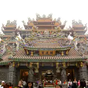 Guandu Temple Temple · 898 m away
 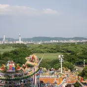 Guandu Nature Park Park and garden · 1114 m away
 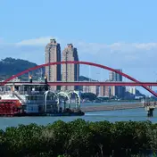 Guandu Pier Riverside and wharves · 1293 m away
 Sources and photo credits are on the terms page.